South Shore Quest 2020

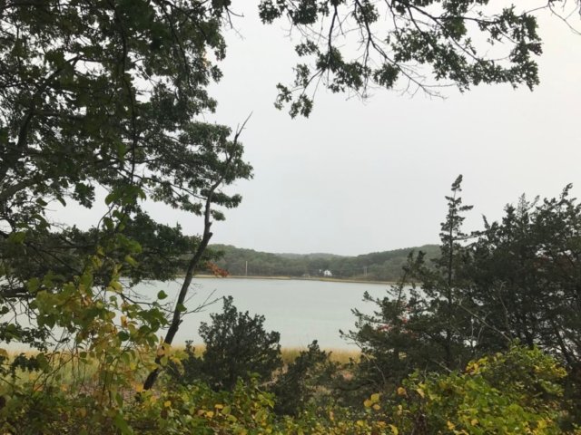
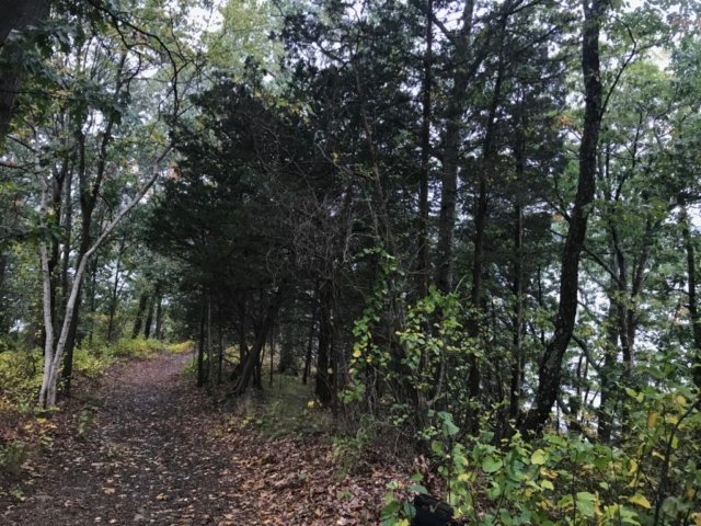
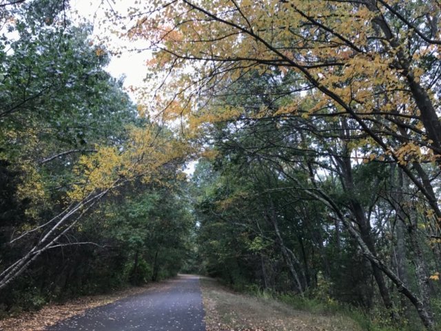
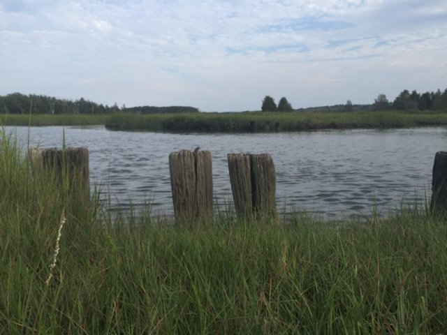
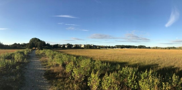
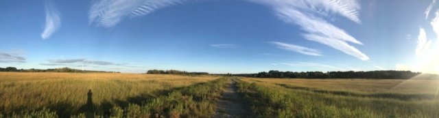
Are you looking for a way to engage the whole family? Or just challenge yourself on a hike? You should check out the South Shore Quest!

The South Shore Quest is an annual challenge to “encourage exploration of the outdoors through the use of CLUE-directed walks through local public lands and parks”. The organization was formed in 1998 and has been delivering fun ever since. 

Update: Historically, the quest books have been for sale for $5 at local retailers. Given the pandemic, they are posting the book for free online but asking for donations via this link. We love their enthusiasm and dedication to the cause. Consider donating via this link.

[siteorigin_widget class=”SiteOrigin_Widget_Image_Widget”][/siteorigin_widget]

The Idea

Questing is an ideal activity for small groups and families, as well as individuals. By turning a walk into a treasure hunt, children often race ahead of their parents instead of lagging behind


How it works:

For a given Quest, participants use the map and directions found in this booklet to follow hidden CLUES to a treasure box. The box contains a small guest book, a stamp pad, a rubber stamp, and answers to questions asked by curious “Questers”. Once the box is found, participants stamp the back pages of this booklet (as proof of accomplishment), and each person signs and stamps the guest book to record having finished the Quest.

Getting started:

  1. Download the Quest book from South Shore Quest
  2. Pick a trail to get started on. You can find all the trail maps and information here on South Shore Trails. 
  3. Pack a snack and enjoy the adventure.

South Shore Quest 2020 Trails

Here is the list of trails that are included in the South Shore Quest!

[wpdatatable id=23]
Pandemic Updates:
  • All Quests will be boxless until further notice to help reduce the risk of contagion.  The clue phrase will work as proof of completion if working towards a patch.
  • Please continue to practice social distancing by Questing with just your immediate family.  It’s difficult to space properly on narrow trails with large groups.
  • Before heading out on a Quest check to be sure the property the Quest is located on is currently open to the public.  We will update our website under Trail Updates as we hear of closures but can not guarantee our site will be up to date in this ever changing landscape.
  • Fairies are practicing social distancing as well.  Please do not open or handle the Fairy doors on any of the Quests.

Want to learn more?

South Shore Quest website

4 sample quests online to try 

Code of Ethics

Weir River Watershed Association

Volunteer with South Shore Quest

FAQ for South Shore Quest

Source Credit: We’ve used a lot of South Shore Quest’s descriptions in this post. We like to use their own words to describe the South Shore Quest so we make sure we are reflecting their vision correctly. 
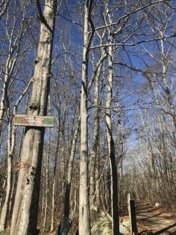
Cranberry Watershed Preserve / Kingston

This 225 acre property abuts the Jones River and has three brooks that travel through it: Howards Brook, Pine Brook, and one unnamed brook. This large property area contributes greatly to the Jones River Watershed. A portion of the Bay Circuit Trail runs through the property as well.

[siteorigin_widget class=”SiteOrigin_Widget_Image_Widget”][/siteorigin_widget]

LOCATION:

Access from Rt 27

parking behind Silver Lake Middle School

STROLLER SCORE: TBD

[siteorigin_widget class=”SiteOrigin_Widget_GoogleMap_Widget”][/siteorigin_widget]

Tidmarsh / Plymouth

[siteorigin_widget class=”SiteOrigin_Widget_Image_Widget”][/siteorigin_widget]
Tidmarsh Sanctuary is a 481-plus acre landscape in Plymouth. Once a working cranberry farm, this landscape underwent the largest freshwater ecological restoration ever completed in the Northeast.

Its previous owners, the Schulman Family, along with the Massachusetts Division of Ecological Restoration, U.S. Department of Agriculture’s Natural Resources Conservation Service, and many other organizations, re-created nearly three and a half miles of meandering stream channel, sculpted the land’s surface, and removed nine dams to reconnect the headwaters of Beaver Dam Brook to the ocean for the first time in more than a century. The restoration before and after images are absolutely worth checking out!

As a result of the collective actions of the collaborators, this entire landscape is now on a dramatic trajectory of change—a spectacle that will play out for decades, and even centuries, to come.

(image source: Audubon Society)

TRAIL NOTES:

  • excellent for birding!
  • several trails offering a unique perspective on the landscape (+ more trails coming!)
[siteorigin_widget class=”SiteOrigin_Widget_Image_Widget”][/siteorigin_widget]

(1) Entrance Trail / .4 miles

(2) Meadow Trail / .2 miles

(3) Farm Road Ramble / .3 miles

(4) Volunteers’ Trail / 1 mile

(5) Ridge Trail / .2 miles

(6) Madar Loop / .7 miles

all trail details are from the Audubon Society

Entrance Trail

Length: ~ 0.4 miles
This trail leads from the parking lot to the Meadow and Ridge Trails. Enjoy shade from the Pitch Pine and Oak Forest as you pass old cranberry bogs. Stop and enjoy the small pond and look for herons and ducks.

Meadow Trail

Length: ~ 0.2 miles
This short trail winds through the restored grassy sandplain community and connects you from the Entrance trail to the Farm Road Ramble and Volunteer’s Trail. It is a great spot to look for butterflies, moths, and other pollinator species.

Farm Road Ramble

Length: ~ 0.3 miles
This old farm road provides a perfect foundation for exploring the wetlands. Stop for a moment on the bridge while crossing over the stream, where you may catch a glimpse of herring swimming upstream in April and May. For a longer adventure, explore Madar Loop and take the spur trail to the pond overlook.

Volunteers’ Trail

Length: ~ 1 mile each way
Named to recognize Mass Audubon’s valuable volunteers, this trail takes you to the farthest reaches of the sanctuary. At the end, enjoy a view across the cattail marsh on one side and the newly restored wetlands on the other. Watch for muskrat and dragonflies in the summer; in the fall and spring, the slow-moving waters are a great place to observe migrating ducks.

Ridge Trail

Length: ~ 0.2 mile
This trail, which brings you to a scenic overlook with a vista of the valley, is a good trail if you have limited time. As you look out, you can see water running through the center of what used to be cranberry bogs. Now restored to a more natural channel, the Beaver Dam Brook flows from Tidmarsh to Plymouth Harbor.

Madar Loop

Length: 0.6 mile loop + 0.1 mile each way optional spur
This loop trail takes you closer to the wetland restoration area where you will look out on a diverse mix of vegetation including cattails that have replaced what was once a monoculture of cranberries. At the center of the loop, a small forested hill provides a clue to the topography of this property before the cranberry era. Watch for ducks, herons, turtles, and frogs before returning to Farm Road Ramble.

LOCATION:

60 Beaver Dam Rd

Plymouth, MA 02360

STROLLER SCORE: TBD

[siteorigin_widget class=”SiteOrigin_Widget_GoogleMap_Widget”][/siteorigin_widget]

Wharf Creek / Marshfield

[siteorigin_widget class=”SiteOrigin_Widget_Image_Widget”][/siteorigin_widget]

Wharf Creek is a Marshfield town trail located off RT 139 / Careswell Road along the Green Harbor. The trail is nearly entirely in wetlands which can make for a damp hike. The best time to visit would be when it has not rained for a few days. 

There are two entrances to Wharf Creek. The first is located across from Coffee Shack donuts on RT 139 / Careswell Road. The second is off Calypso Lane. This second entrance is in a very residential neighborhood so parking is not especially obvious. Given this is a town trail and the primary signage is at the Calypso entrance, we think it is probably okay to park here for a quick hike. Alternatively, a visitor could park at Coffee Shack and treat yourself to a donut either before or after the hike. 

The trail itself is very peaceful and does not appear to be frequently used. The path is relatively well maintained although it can be very narrow at some parts. During tick season, visitors should be extra vigilant. The highlight of the trail is the view of Green Harbor. This vista located about a half mile in from the Rt 139 entrance.


Trail Notes:

  • The trail is generally very level and even terrain – but can be very wet.
  • The trail beds do seem to have more exposed roots and combined with the narrow paths does not make it stroller friendly.
  • Absolutely make sure you stop and enjoy the view of Green Harbor
[siteorigin_widget class=”SiteOrigin_Widget_Image_Widget”][/siteorigin_widget]

LOCATION:

Careswell Street

Marshfield, MA

STROLLER SCORE: C

LINKS:

Trail Map

[siteorigin_widget class=”SiteOrigin_Widget_GoogleMap_Widget”][/siteorigin_widget]

Cornhill Woodland / Marshfield

[siteorigin_widget class=”SiteOrigin_Widget_Image_Widget”][/siteorigin_widget]

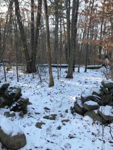
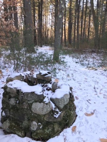
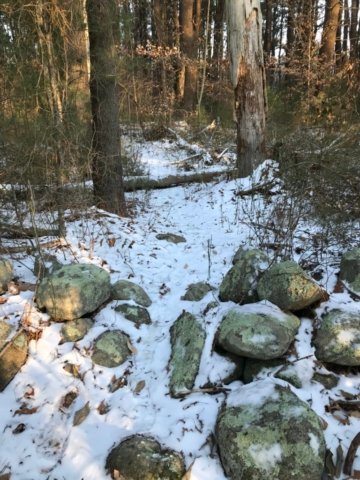
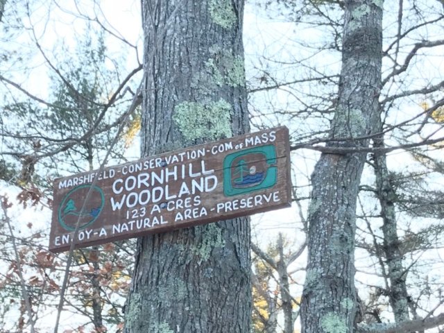
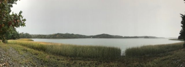
Cornhill Woodlands is a 123 acre preserve located in Marshfield along Union Street. The parcel features a trail system that weaves through the forest and ultimately to a flat marsh area. The nest of trails lead visitors through a deep, mature forest crisscrossed by historic stone walls. One of our particular favorites was coming across an old stone well in the middle of the forest.

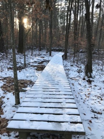
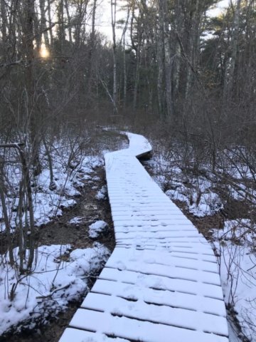
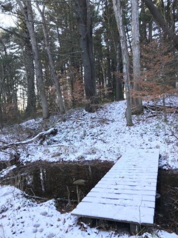
The trail network is accessible via a few access points but the best is on Union Street. As noted on the Marshfield trail maps, the paths are not very wide and as a result they can be a bit overgrown during high-growth periods. The trails also cross through some significant wetland areas but thanks to raised boardwalks visitors can still enjoy themselves and keep their feet dry. 

A few notes:

  • the trail entrances are not very well marked but you’ll appreciate the hard work to find it!
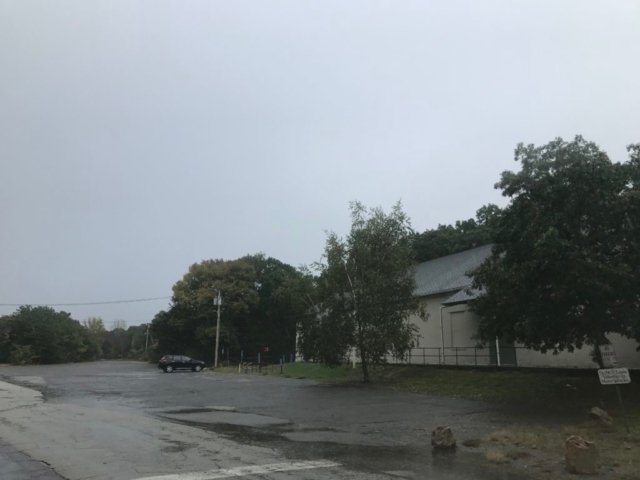
  • parking lot is probably suitable for about 4 cars. additional parking is available on the street at the Corn Hill Lane entrances
  • best time to visit might be the winter! due to the narrow trail width, you’ll best avoid ticks with a visit in the winter.

Suggested visit:

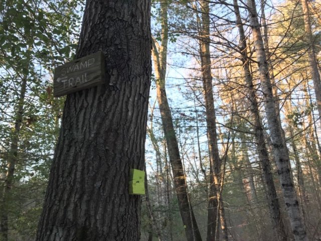
Park at Union Street entrance. Take the trail towards the river and follow the sign for the “swamp trail”. Be sure to go all the way towards the marsh for the best view. The entire loop is just under 2 miles.

[siteorigin_widget class=”SiteOrigin_Widget_Image_Widget”][/siteorigin_widget]

LOCATION:

Union Street & Cornhill Lane

Marshfield, MA

STROLLER SCORE: C

[siteorigin_widget class=”SiteOrigin_Widget_GoogleMap_Widget”][/siteorigin_widget]

Bare Cove Park / Hingham

[siteorigin_widget class=”SiteOrigin_Widget_Image_Widget”][/siteorigin_widget]

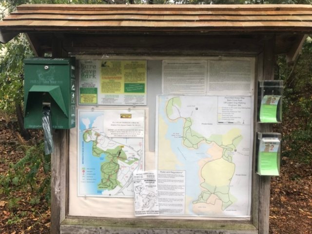
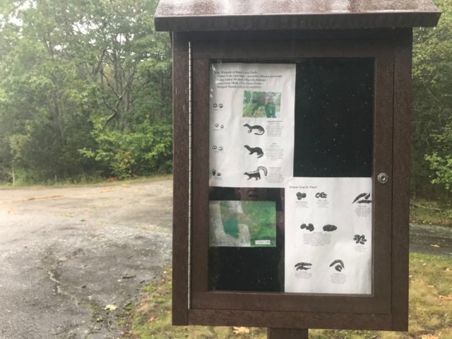
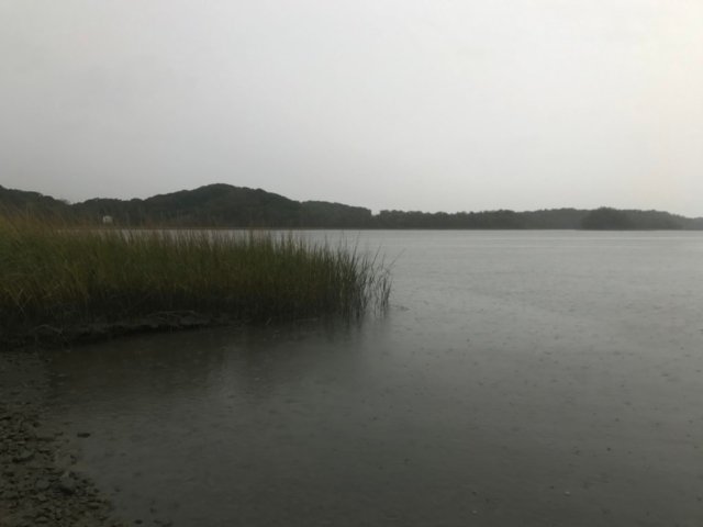
Bare Cove Park consists of 484 acres along the Weymouth Back River in Hingham. The park is a hidden gem for South Shore residents. The park has been designated as a wildlife sanctuary and offers diverse habits for plant and animal life. Park signage helps to educate users about the variety of owls, deer, and other wild animals that share the space.

The variety of trails can make every visit to Bare Cove Park different from the prior one. The combination of paved and dirt trails make it perfect for just about everyone. You’ll see other guests enjoying jogging, hiking, biking … or just out with the family dog and stroller.

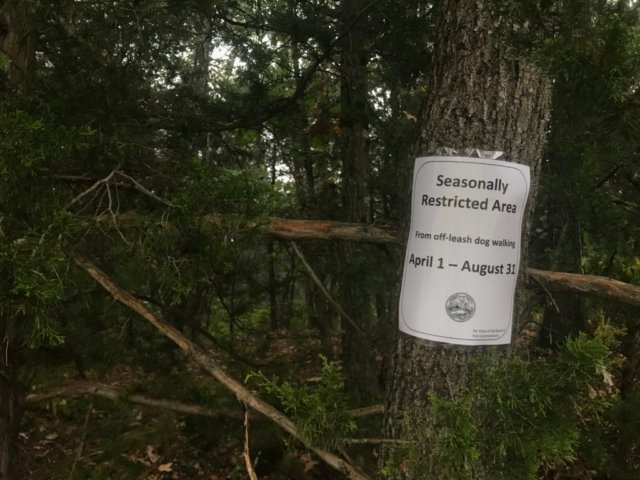
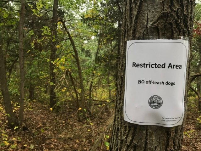
In 2017, changes were made to allow some off-leash dog areas. There is a special map and signage to help designate which areas are appropriate for off-leash play. A permit is also required and more information can be obtained on the Hingham town website. A separate website has been maintained to campaign for this off-leash privilege and is a great resource for understanding the guidelines.

HISTORY

Prior to 1906, the land was privately owned. Due to its convenient access by water to Boston Harbor, the site was acquired by the U.S. Navy and used as an ammunition depot until 1971. In 1972, the Government declared the depot surplus and divided it up for several uses, including Bare Cove Park, South Shore Model Train Club, and Bare Cove Fire Museum. (Source)

TRAILS

There are 5 miles of paved trails that loop through the park. Additionally, there are countless other wooded trails that offer a more traditional trail experience. Trails are incredibly well-labeled throughout the park with additional signage and informational kiosks to educate the public.


[siteorigin_widget class=”SiteOrigin_Widget_Image_Widget”][/siteorigin_widget]

LOCATION:

There are several potential entrances but the primary one is listed below.

Bare Cove Park Drive

Hingham, Massachusetts 02043

STROLLER SCORE: 3

[siteorigin_widget class=”SiteOrigin_Widget_GoogleMap_Widget”][/siteorigin_widget]

Driftway Old Colony Rail Bed Trail / Scituate

[siteorigin_widget class=”SiteOrigin_Widget_Image_Widget”][/siteorigin_widget]

Why to visit:

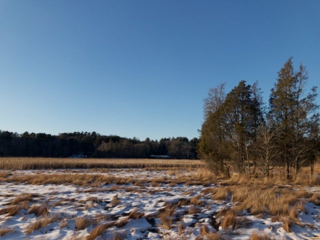
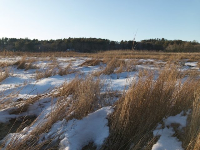
One of the most picturesque trails in Scituate is the smallest. The old rail trail can be found along the marsh in Scituate’s Driftway area.

The Driftway area of Scituate includes some beautiful marsh views. Despite being located near a busy road, you’ll feel like you were transported to a place far more remote. The AJ Memorial trail is another great option located just down the road. If you only have 15 minutes and just need some fresh air, this rail trail is perfect for you. 

Enjoy your time on this historically relevant town trail!


Trail Details:

The trail is just under 1/2 mile long and runs from the small parking lot into the marsh and North River. The environment is perfectly suited for families with little kids to stretch their legs or even strollers. Since this is a town trail, pets are also welcome provided they are on a leash.

It will be obviously when you’ve reached the end of the passable trail but you’ll be able to see very clearly where the trail used to travel. At a low tide, it could be tempting to try and cross the marsh river but it is not advisable given deep marsh mud and the quick turnaround on the tide. 

How to find it:
New Driveway Road
Scituate, MA

4 car parking lot located next to Dunkin Donuts

Stroller Rating: 2

[siteorigin_widget class=”SiteOrigin_Widget_GoogleMap_Widget”][/siteorigin_widget]