Wharf Creek / Marshfield

[siteorigin_widget class=”SiteOrigin_Widget_Image_Widget”][/siteorigin_widget]

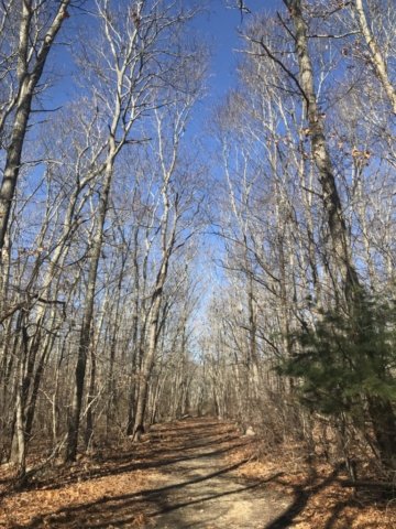
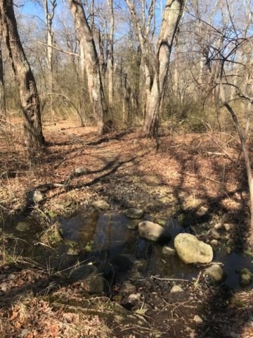
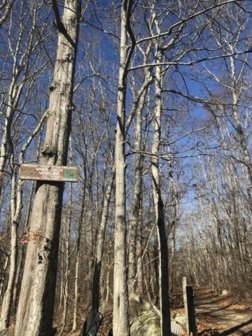
Wharf Creek is a Marshfield town trail located off RT 139 / Careswell Road along the Green Harbor. The trail is nearly entirely in wetlands which can make for a damp hike. The best time to visit would be when it has not rained for a few days. 

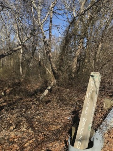
There are two entrances to Wharf Creek. The first is located across from Coffee Shack donuts on RT 139 / Careswell Road. The second is off Calypso Lane. This second entrance is in a very residential neighborhood so parking is not especially obvious. Given this is a town trail and the primary signage is at the Calypso entrance, we think it is probably okay to park here for a quick hike. Alternatively, a visitor could park at Coffee Shack and treat yourself to a donut either before or after the hike. 

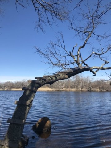
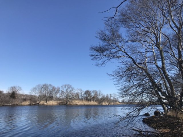
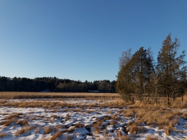
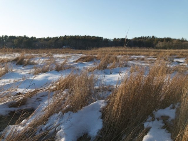
The trail itself is very peaceful and does not appear to be frequently used. The path is relatively well maintained although it can be very narrow at some parts. During tick season, visitors should be extra vigilant. The highlight of the trail is the view of Green Harbor. This vista located about a half mile in from the Rt 139 entrance.


Trail Notes:

  • The trail is generally very level and even terrain – but can be very wet.
  • The trail beds do seem to have more exposed roots and combined with the narrow paths does not make it stroller friendly.
  • Absolutely make sure you stop and enjoy the view of Green Harbor
[siteorigin_widget class=”SiteOrigin_Widget_Image_Widget”][/siteorigin_widget]

LOCATION:

Careswell Street

Marshfield, MA

STROLLER SCORE: C

LINKS:

Trail Map

[siteorigin_widget class=”SiteOrigin_Widget_GoogleMap_Widget”][/siteorigin_widget]

Cornhill Woodland / Marshfield

[siteorigin_widget class=”SiteOrigin_Widget_Image_Widget”][/siteorigin_widget]

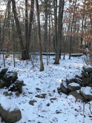
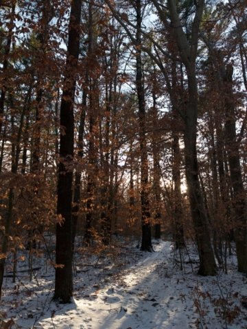
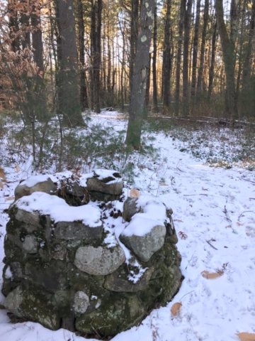
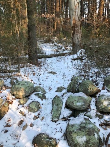
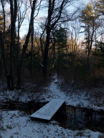
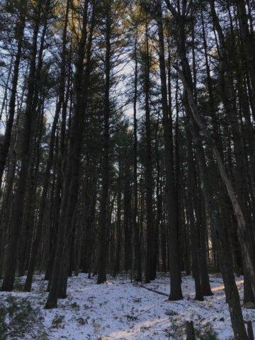
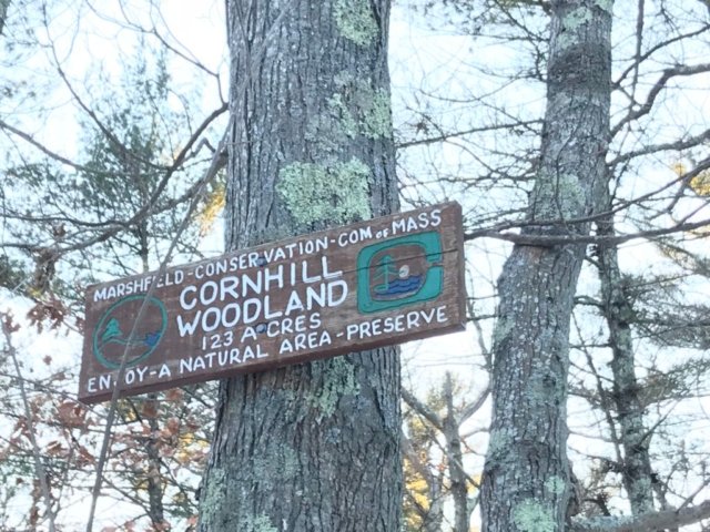
Cornhill Woodlands is a 123 acre preserve located in Marshfield along Union Street. The parcel features a trail system that weaves through the forest and ultimately to a flat marsh area. The nest of trails lead visitors through a deep, mature forest crisscrossed by historic stone walls. One of our particular favorites was coming across an old stone well in the middle of the forest.

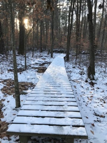
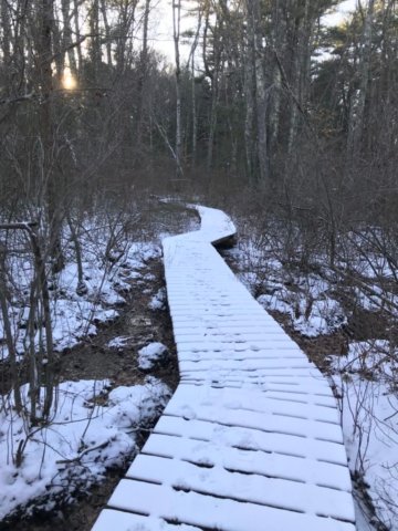
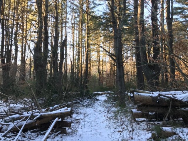
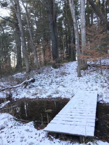
The trail network is accessible via a few access points but the best is on Union Street. As noted on the Marshfield trail maps, the paths are not very wide and as a result they can be a bit overgrown during high-growth periods. The trails also cross through some significant wetland areas but thanks to raised boardwalks visitors can still enjoy themselves and keep their feet dry. 

A few notes:

  • the trail entrances are not very well marked but you’ll appreciate the hard work to find it!
  • parking lot is probably suitable for about 4 cars. additional parking is available on the street at the Corn Hill Lane entrances
  • best time to visit might be the winter! due to the narrow trail width, you’ll best avoid ticks with a visit in the winter.

Suggested visit:

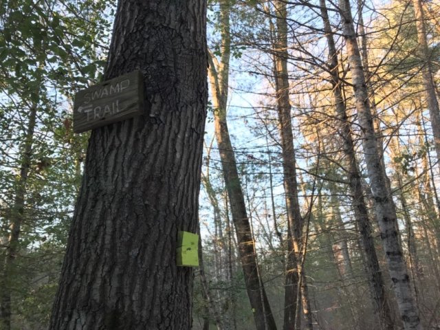
Park at Union Street entrance. Take the trail towards the river and follow the sign for the “swamp trail”. Be sure to go all the way towards the marsh for the best view. The entire loop is just under 2 miles.

[siteorigin_widget class=”SiteOrigin_Widget_Image_Widget”][/siteorigin_widget]

LOCATION:

Union Street & Cornhill Lane

Marshfield, MA

STROLLER SCORE: C

[siteorigin_widget class=”SiteOrigin_Widget_GoogleMap_Widget”][/siteorigin_widget]