Entrance Trail
Length: ~ 0.4 miles
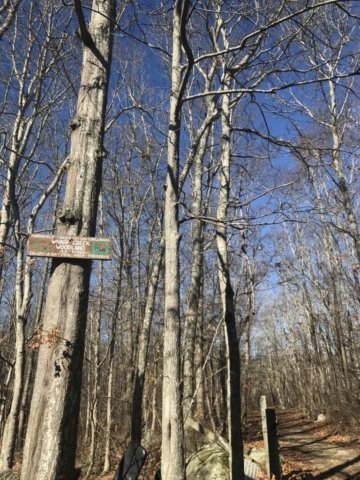
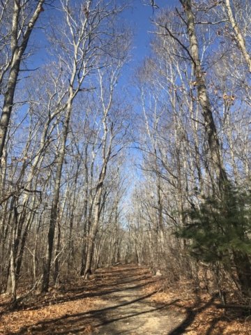
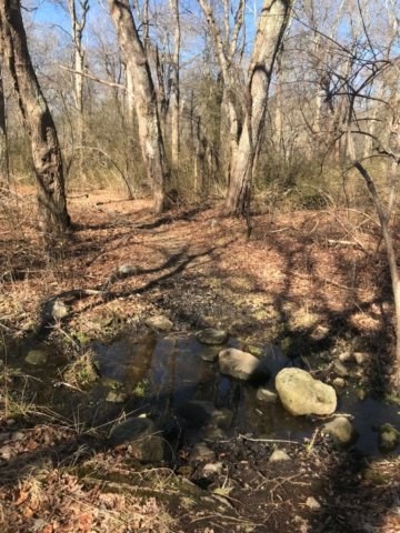
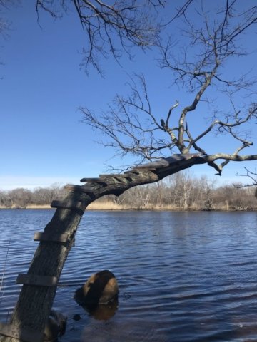
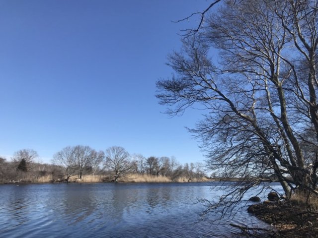
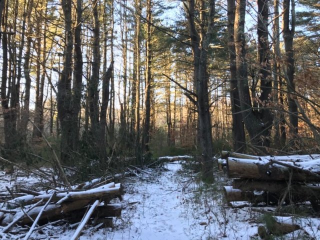
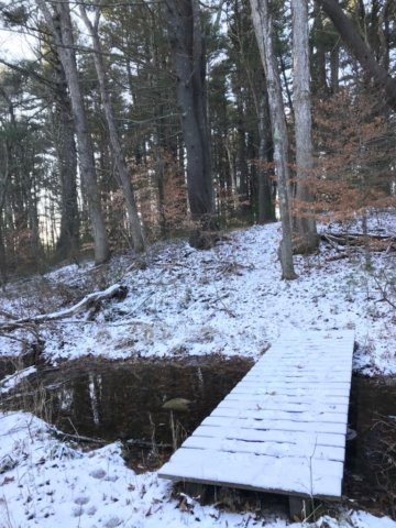
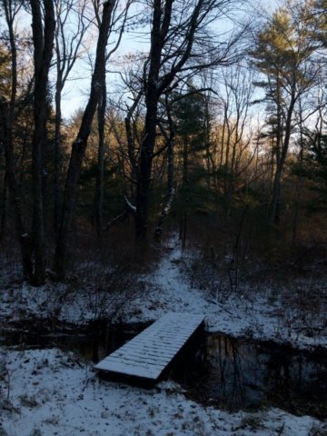
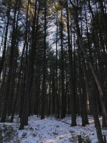
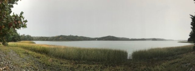
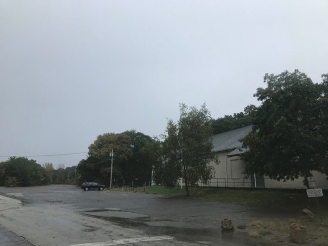
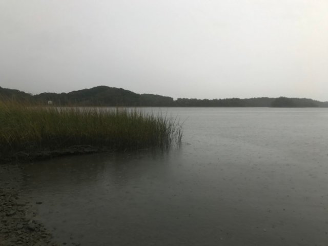
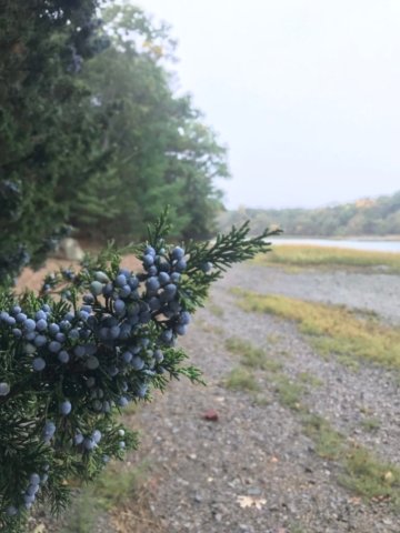
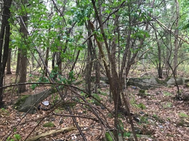
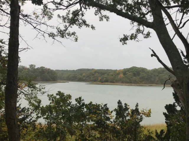
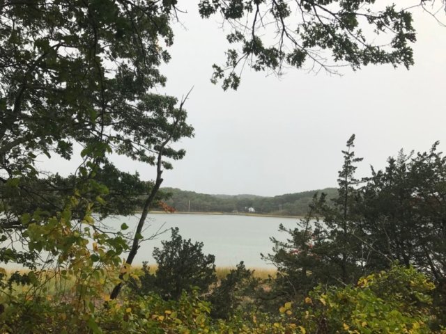
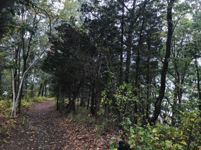
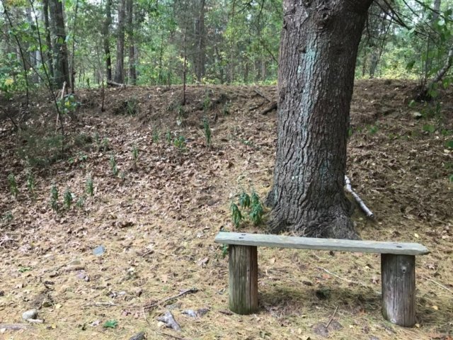
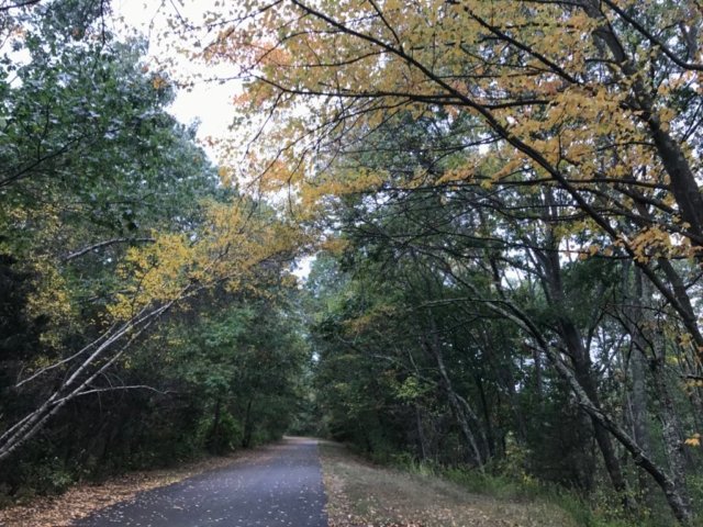
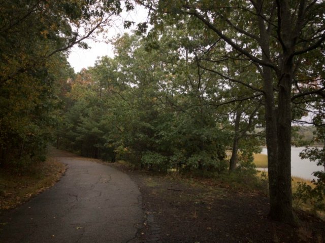
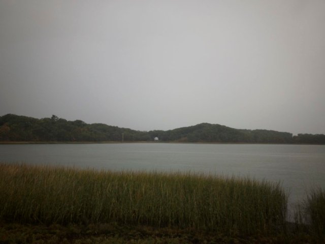
This trail leads from the parking lot to the Meadow and Ridge Trails. Enjoy shade from the Pitch Pine and Oak Forest as you pass old cranberry bogs. Stop and enjoy the small pond and look for herons and ducks.
Meadow Trail
Length: ~ 0.2 miles
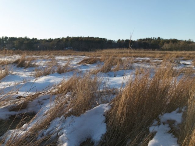
This short trail winds through the restored grassy sandplain community and connects you from the Entrance trail to the Farm Road Ramble and Volunteer’s Trail. It is a great spot to look for butterflies, moths, and other pollinator species.
Farm Road Ramble
Length: ~ 0.3 miles
This old farm road provides a perfect foundation for exploring the wetlands. Stop for a moment on the bridge while crossing over the stream, where you may catch a glimpse of herring swimming upstream in April and May. For a longer adventure, explore Madar Loop and take the spur trail to the pond overlook.
Volunteers’ Trail
Length: ~ 1 mile each way
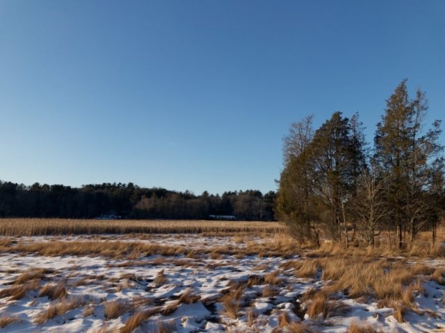
Named to recognize Mass Audubon’s valuable volunteers, this trail takes you to the farthest reaches of the sanctuary. At the end, enjoy a view across the cattail marsh on one side and the newly restored wetlands on the other. Watch for muskrat and dragonflies in the summer; in the fall and spring, the slow-moving waters are a great place to observe migrating ducks.
Ridge Trail
Length: ~ 0.2 mile
This trail, which brings you to a scenic overlook with a vista of the valley, is a good trail if you have limited time. As you look out, you can see water running through the center of what used to be cranberry bogs. Now restored to a more natural channel, the Beaver Dam Brook flows from Tidmarsh to Plymouth Harbor.
Madar Loop
Length: 0.6 mile loop + 0.1 mile each way optional spur
This loop trail takes you closer to the wetland restoration area where you will look out on a diverse mix of vegetation including cattails that have replaced what was once a monoculture of cranberries. At the center of the loop, a small forested hill provides a clue to the topography of this property before the cranberry era. Watch for ducks, herons, turtles, and frogs before returning to Farm Road Ramble.
 South Shore Trails